Chairwoman Sherrill Opening Statement for Examination of Federal Flood Maps Hearing

Chairwoman Sherrill Opening Statement for Examination of Federal Flood Maps Hearing
(Washington, DC) – Today, the House Committee on Science, Space, and Technology’s Subcommittee on Environment and Subcommittee on Investigations & Oversight are holding a joint hearing titled, “An Examination of Federal Flood Maps in a Changing Climate.”
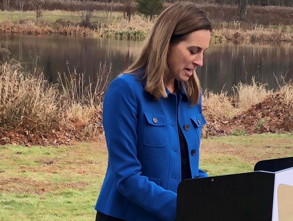
Chairwoman of the Subcommittee on Environment, Rep. Mikie Sherrill’s (D-NJ), opening statement for the record is below.
Good afternoon, and welcome to the Environment Subcommittee’s first hearing of 2020. This is my first hearing since taking over the Subcommittee Chairmanship from my colleague and friend, Ms. Fletcher. I am looking forward to continuing the bipartisan work of this Subcommittee with Ranking Member Marshall on issues related to the environment, climate change, and weather research; issues that are critical to New Jersey, and to the country. This is also a joint Subcommittee hearing with the Investigations & Oversight Subcommittee, and I would like to welcome my fellow Chair Dr. Foster and Ranking Member Mr. Norman.
The focus of today’s hearing is painfully salient in New Jersey, a historically flood-prone state. New Jersey is a place where both coastal and inland communities have unfortunately had to deal with extensive flooding events, and as a result actively invest in understanding and mitigating these flood risks. In my district, towns such as Pequannock, Little Falls, Woodland Park, Pompton Lakes, and Wayne that experience some of the most extreme flooding, work hard to protect their residents with measures like home buy-outs, elevations, dredging waterways, and even flying drones to proactively identify flood hazards in rivers. They appreciate that the National Flood Insurance Program is a critical part of providing this protection to communities and are committed to partner with you to get the science underlying the FEMA flood mapping process right.
Assessments of flood risk today must consider that climate change is accelerating rates of sea level rise, intense heavy rains, and other extreme weather events, creating flooding patterns distinct and more damaging than norms of the past. And it’s not just New Jersey and coastal communities, as Ranking Member Marshall knows too well; inland states faced billions of dollars of damage from extreme wet conditions consistent with climate change last year, with a similar forecast just released by the National Oceanic and Atmospheric Administration for the coming year for the Mississippi River and Great Plains basin.
The FEMA flood maps are intended to determine insurance rates for one year ahead and set building standards for the floodplain. Despite this intention, the reality is that homeowners and local governments continue to use the maps to make both short- and long- term decisions like buying a home, choosing a mortgage, and planning adaptation measures to deal with the future flooding events. Given the public need, we must ensure that the most up to date science of predicting flood risk is accessible in a centralized, accurate, and easy-to-understand way.
While we are primarily focused today on supporting inter-agency efforts in federal flood mapping, I also want to emphasize the importance of incorporating “on-the-ground” community feedback into the FEMA flood mapping process. My understanding from local officials and constituents in my district is that providing such input can be onerous, expensive, and frustrating. We have, for example, a case in Pequannock where scientific models adopted by an approved FEMA Cooperating Technical Partner in New Jersey have not been admitted into a remapping appeals process. And instances of delays in resolutions that put homeowners and our communities in a flood map limbo, affecting their ability to sell homes, make improvements to their property, and move forward on important municipal planning decisions. I believe this local expertise is critical to getting the science of our flood maps right, and want to understand how we can best support FEMA’s efforts to partner with communities, not only in New Jersey but across the country, to incorporate local scientific expertise efficiently and in a common-sense way.
In this hearing, I hope we can have a constructive conversation about how agencies can leverage their unique capabilities and local information to improve the science and communication around flood risk. While FEMA is the expert in administering disaster aid and mitigating risk on the floodplain, science agencies like NOAA are hard at work collecting data on flood-prone environments, developing state-of-the-art models, and generating forecasts, maps, and other communications. I hope that we can find interagency synergies that improve the science and get it out there into communities where it is sorely needed.
And science is only one part of the solution, as the other committees of jurisdiction working hard on flood mitigation know well. In fact, this morning, I submitted a statement for the record to the Transportation and Infrastructure Committee for their Member Day hearing outlining my district’s priorities related to the development of the Water Resources Development Act, or WRDA, which included the need to address flood risk.
I am pleased to welcome our distinguished panel to today’s hearing. They will provide the perspective of both the federal government and on-the-ground experts.
###
Please visit www.science.house.gov for more information.


